






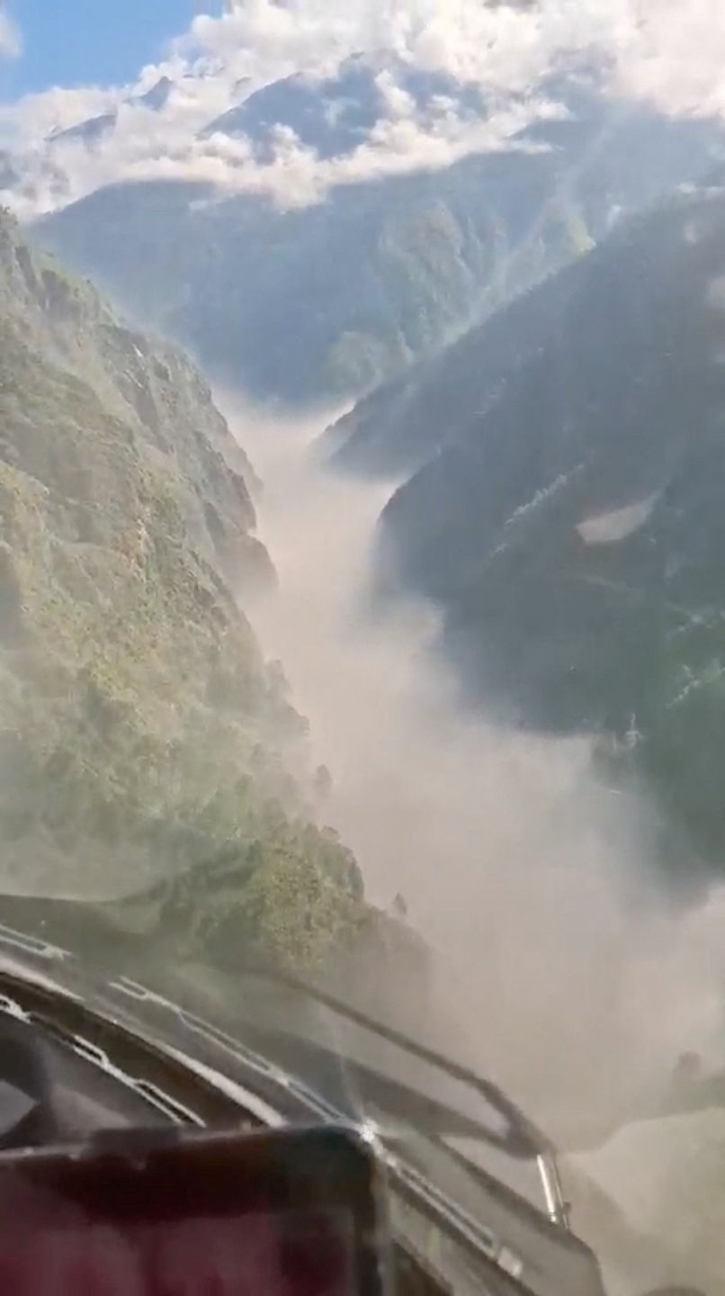
Nearly 1,500 people are missing after a debris flow tore more than 60 miles down the Bhote Koshi river on August 26, and among them are at least 800 foreigners, including dozens of Americans.
Scientists think the disaster started with a glacier collapse near the Langtang Lirung peak, on Nepal’s border with Tibet. A seismic event first recorded as an earthquake turned out to be a 5.2 magnitude landslide, glacial collapse and debris flow, according to the U.S. Geological Survey.
The volume was staggering. Researcher Jeffrey Kargel of the Planetary Science Institute estimated 13 million cubic yards of rock and ice, or 10 times that or more, hurtling downhill at speeds that may have topped 186 miles per hour. It gathered still more debris and water as it surged.
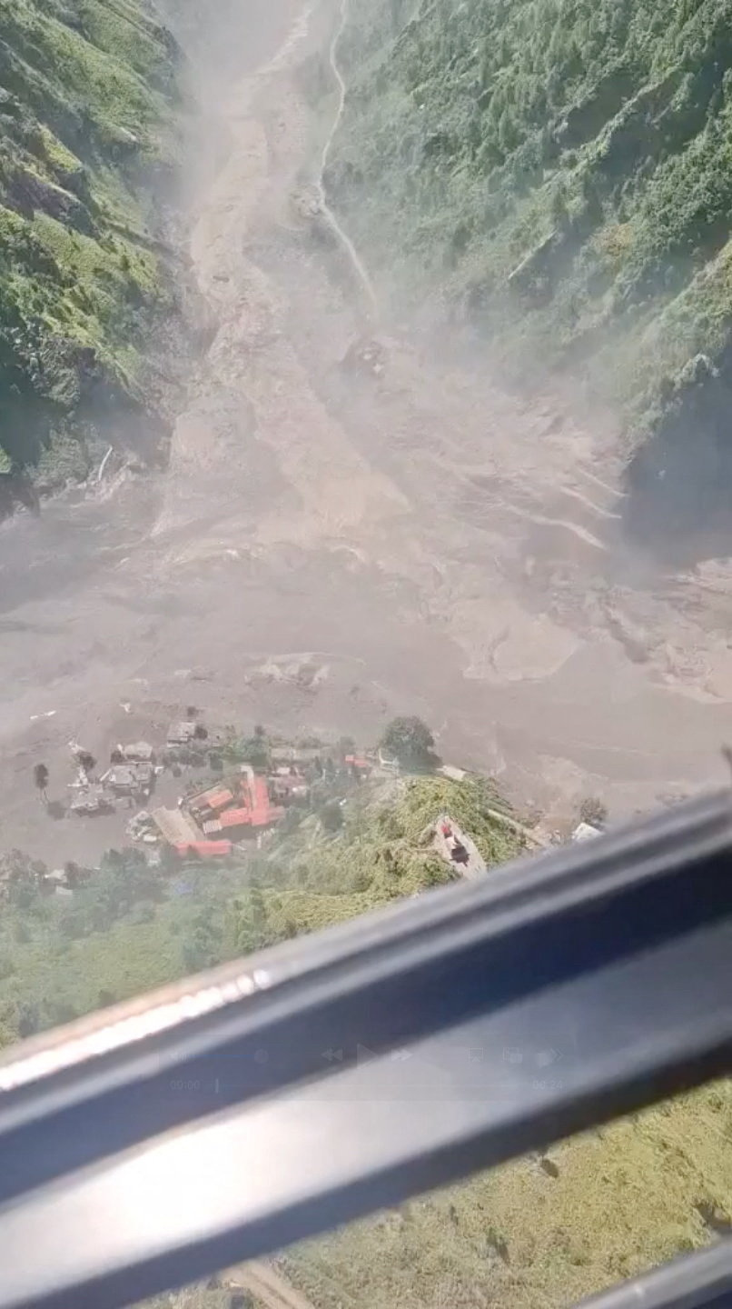
“The force of this thing is just almost incomprehensible,” said Alton Byers, a faculty research scientist at the University of Colorado at Boulder, who called it one of the largest events of its kind he’s seen in about 30 years of research.

Downstream, the Trishuli River reportedly rose more than 27 feet in 30 minutes. Byers described the flow as a hyper-concentrated slurry moving like cement, unleashing boulders “as big as houses.”
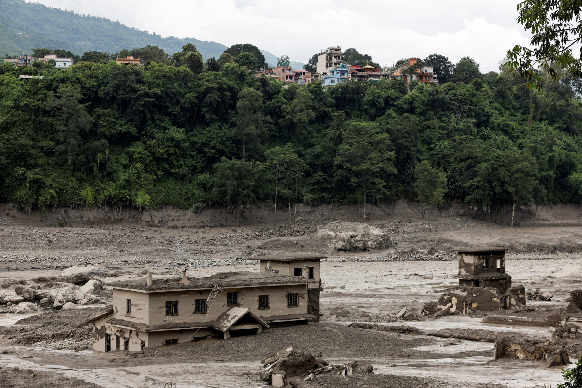
Byers linked the melting of permafrost at the highest elevations to the collapse, comparing it to “taking a stick of butter out of the fridge and putting it on the counter.” He said such events are hitting the warming Himalayas with increasing frequency and magnitude.
Thanks for reading Thought Catalog. Join us on Facebook, or keep reading on our website.